Not just a walk in the park
Anjanaa Devi Srikanth of FCL Global uses Spatial Network Analysis and empirical pedestrian movement datasets to study pedestrian movement patterns in one-north Park in Singapore.
The design of the urban fabric influences accessibility and movement. By studying spatial accessibility, or how accessible a particular urban area is, researchers and planners can understand and predict pedestrian flows in unbuilt designs. Using a specific Spatial Network Analysis tool called sDNA, external pageAnjanaa Devi Srikanth and Prof. Dr Thomas Schroepfer analysed pedestrian flows in a location called one-north Park, and presented insights gained on walkability in the park.
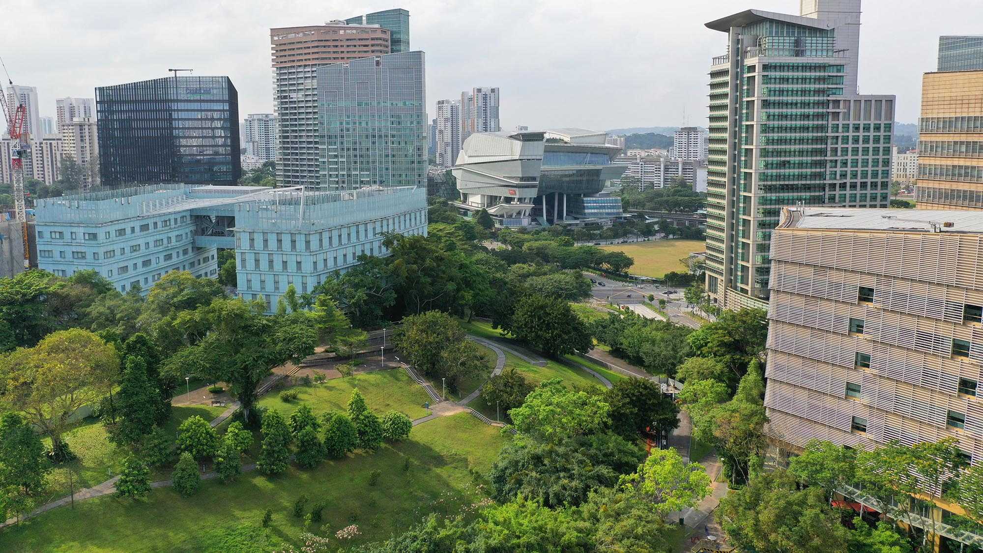
one-north Park is a significant area in one-north, a vibrant research and business district in Singapore. It is a linear green space in the centre of the development, providing a corridor that enables pedestrian access and connects many of the adjacent building clusters. Although initially designed to be a singular continuous green space, the development of the vehicular mobility network in one-north has resulted in the formation of separate parcels. The research analyses the role of the parcels as spatial connectors in pedestrian movement during typical weekdays and weekends.
Results of the analysis show peaks in pedestrian movement, differing pedestrian activity during weekdays and weekends, and pedestrian trips that highlight both the significance of the park areas both as connectors and attractors.
Overall, the study presented in the paper seeks to utilise Spatial Network Analysis to understand pedestrian movement in parks in Singapore. A robust Spatial Network Analysis methodology can inform planning and design decisions on improving spatial use and connectivity in future parks and urban green spaces in high-density cities.
Srikanth, A. D., & Schroepfer, T. (2023). external pageA Spatial-temporal Network-Science Based Study of Walking in Urban Green Spaces: A Case Study of One-North Park. archiDOCT, 19(11 (1)).